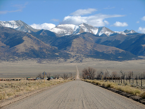
The San Juan Mountains (From San Luis Valley)
To begin, I would like to mention that the San Juan mountain range was created due to volcanic activity that took place around 30 million years ago. It is believed that this mountain range’s life began when the eruption of La Garita Caldera occurred. This eruption left a massive caldera. After years of volcanic activity (lava flows and tuffs) the San Juan Mountains were born. The type of volcano that erupted to create the San Juan Mountains can be referred to as a strato-volcano. These volcanoes are extremely explosive due to their composition. These volcanoes are unlike cinder cone, and shield volcanoes in that they often have more than one volcanic vent, and the mountains they create are often steep and jagged. Forms that are associated with the process of strato-volcanoes erupting are, lava flows (which can be found today in the San Luis Valley), Nuee Ardente (Hot, avalanche-like, cloud of ash), and different pyroclastics (such as bombs and tephra which can still be found in the San Luis Valley). Although the volcanoes have not erupted for thousands of years, there is evidence of volcanic activity that can still be found in the San Luis Valley. This evidence comes in the form of geothermal energy created by many hot springs located in the area.

This image shows faulting in the San Luis Valley (Alamosa Horst and Monte Vista/Baca Grabens)
The San Luis Valley was created through a diverging plate boundary also known as a rift zone. 35 million years ago the Rio Grande Rift became active. This plate divergence runs from Leadville, Colorado to El Paso, Texas. As the rift moved, it created two low areas called the Monte Vista Graben (West) and the Baca Graben (East). A raised area, central to these Grabens is called the Alamosa Horst. Also due to this rift zone, the Sangre de Christo Mountain Range was uplifted, as it makes up the eastern boundary of the Rio Grande Rift. This rift zone is only subject to minor tremors and is not expected to make large movements.

Aerial View of some Alluvial Fans
An interesting fact about the San Luis Valley I came upon was that if the Valley was excavated, the bedrock underneath it would be located about four miles below sea level. The reason the valley is not this deep today is because as the Sangre De Christo and San Juan Mountains eroded and filled the valley with sediment. This is an example of Alluvial fans seeing as how many rivers (ancient Arkansas and Rio Grande) and streams flow out of the mountains and into the San Luis Valley carrying sediments with them.